


Merrick Helps Measure Denver’s Fourth Mile-High Marker
COLORADO – July 31, 2026 – Visitors to the Colorado State Capitol often stop on the west steps for a photo with a marker identifying Denver’s famous mile-high elevation. Three markers identify different points on the steps, each based on the best available way of determining elevation in 1909, 1969, and 2003. The fourth, most precise point to date has been determined, and Merrick & Company played a part.
As Colorado commemorates 150 years of statehood on August 1, the Colorado Day celebration at the Capitol will include the presentation of a temporary marker for the newly identified mile-high point on the west steps. The permanent marker will be placed after the new national elevation reference becomes official, expected in 2027.
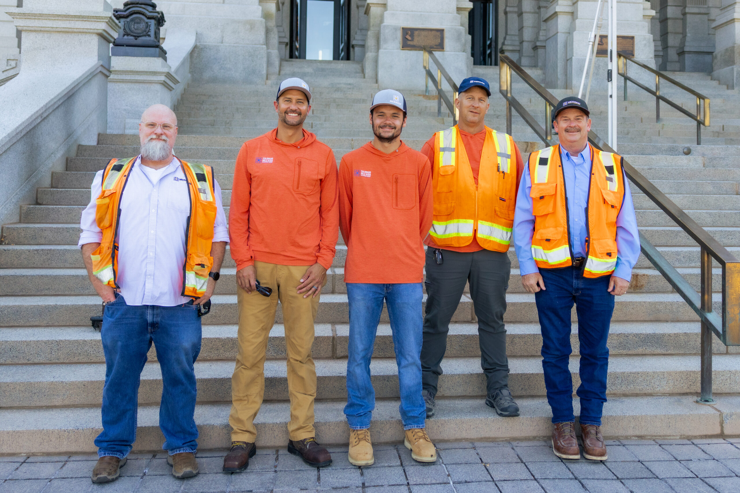
On July 10 at the Capitol, Merrick surveyors joined a field team led by NOAA’s National Geodetic Survey (NGS) to collect measurements for that fourth marker, based on the new and more precise national elevation reference NGS is preparing.
The Merrick crew performed its own set of elevation measurements through geodetic leveling, and the resulting measurements provide NGS a second data set for review and retention. This will serve as a backup record to NGS’s official measurement of the marker’s final elevation.
The first official measurement in 1909 placed the mile-high point on the 15th step, where the words “One Mile Above Sea Level” were carved into the granite in 1947 after earlier plates had been stolen. A new survey placed the marker on the 18th step in 1969, and another placed it on the 13th in 2003. For the upcoming national elevation reference, NGS has identified the mile-high point on the 17th step.
Surveying has been an integral part of Merrick since the company was founded in Colorado in 1955. And its connection to Denver landmarks reaches from the Capitol steps to Coors Field, where Merrick’s survey work during construction in the 1990s included the placement of home plate.
Merrick is a sustaining member of the Professional Land Surveyors of Colorado (PLSC), where its employees have held leadership roles throughout the organization. Through that involvement and Merrick’s GPS and geodetic-leveling work, its surveyors have coordinated with NGS Colorado advisers for decades.
“For Merrick, this is truly a generational event,” said Todd Beers, Merrick’s Vice President of Survey. “High-accuracy geodetic leveling to NGS standards requires the right equipment, knowledge, and software. Merrick has that capability, and being able to put it to work at the Capitol is fantastic. We’re proud to take part in work that reflects Merrick’s commitment to the surveying profession and the city of Denver.”