GIS & Spatial Analysis
Turn Your Data Into Actionable Insights
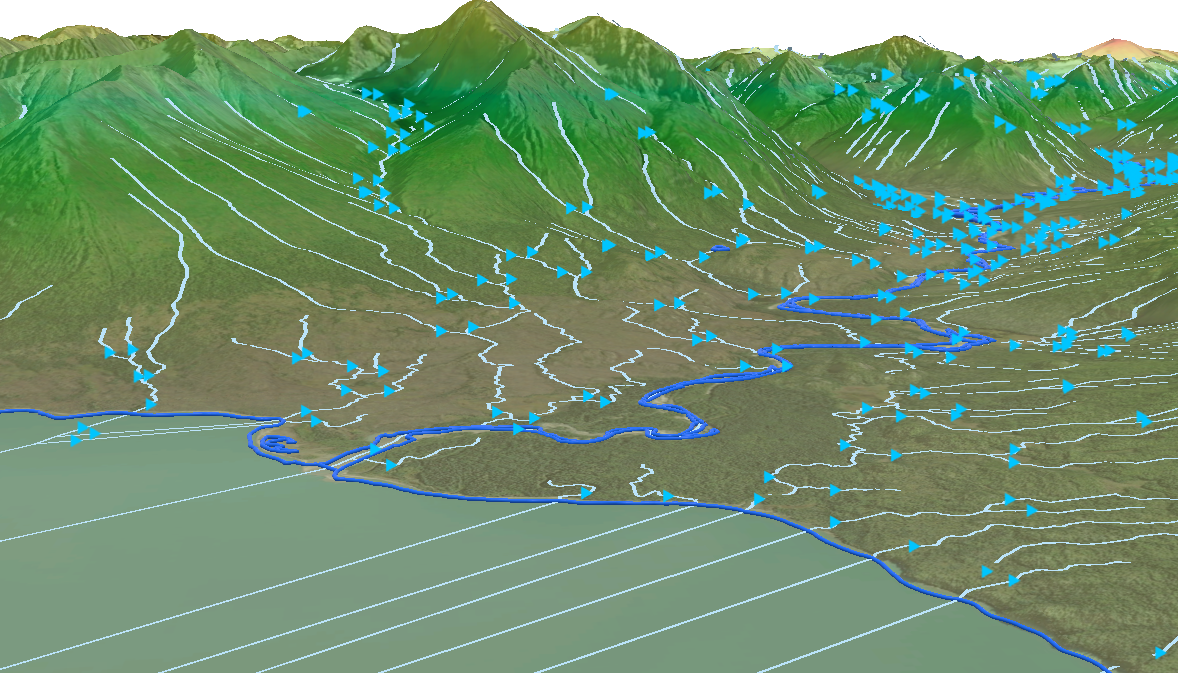
When datasets are fragmented and projections don’t align, it’s hard to see the full picture. Merrick’s GIS team brings it all together: first by standardizing and validating data, then integrating CAD, BIM, survey, imagery, previous datasets, and lidar into geospatial models, maps, and dashboards that give your team a clear visual story. We deploy on your preferred platform — your systems, ArcGIS Online, or secure Merrick-hosted environments — so you can work seamlessly.
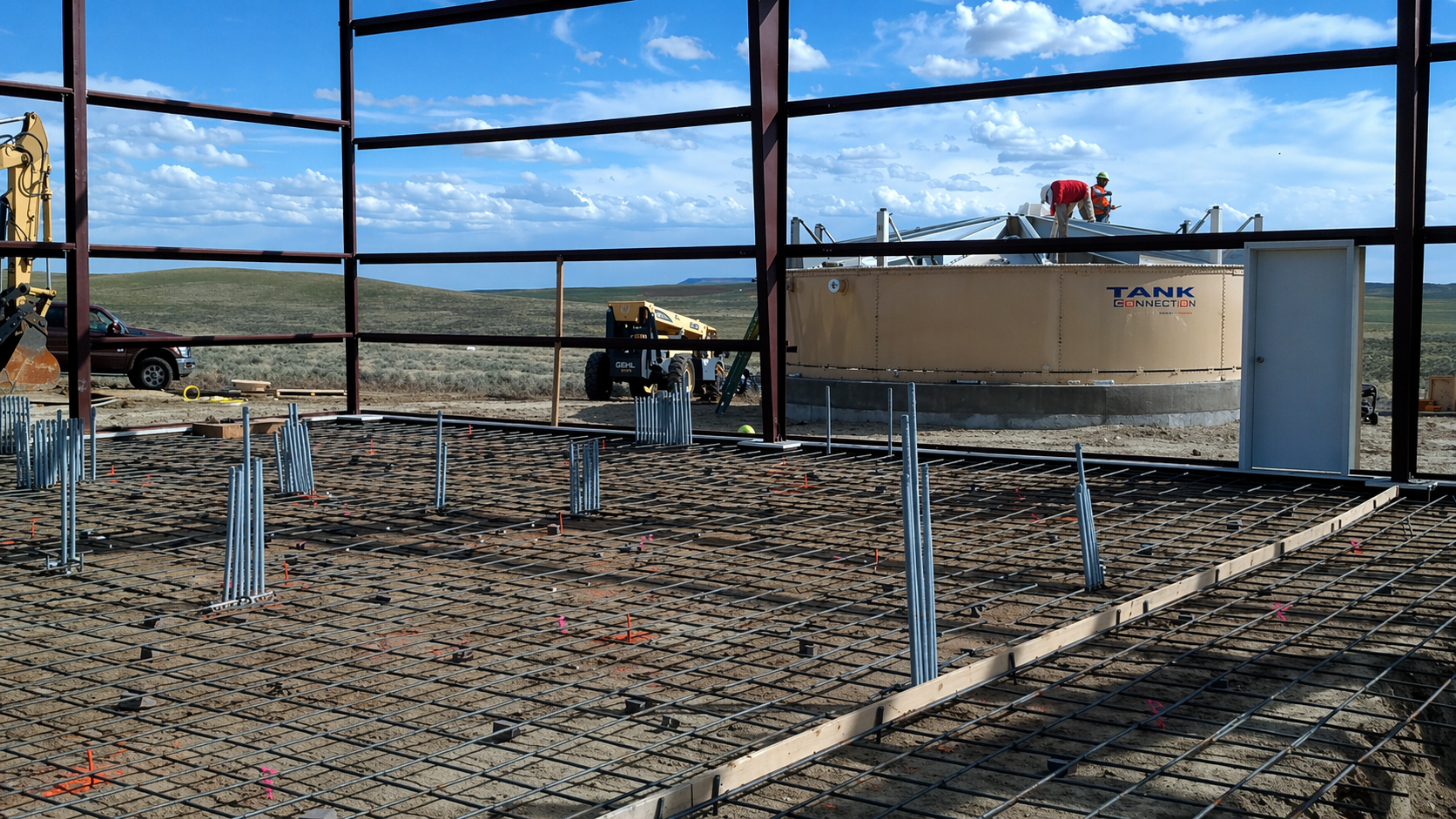
Our GIS team starts each project with a specific question: Where should this facility go? What’s the best route for this transmission line? Where are the risks? Whether we’re supporting a federal energy project, a municipal water upgrade, or private land development, we tailor our analysis to deliver precise answers.
GIS also keeps project teams aligned throughout the full project lifecycle. Our coordination maps and dashboards provide a common operating picture throughout the whole project, helping engineers, planners, and architects avoid miscommunication and work from the same source of truth.
Our services include:
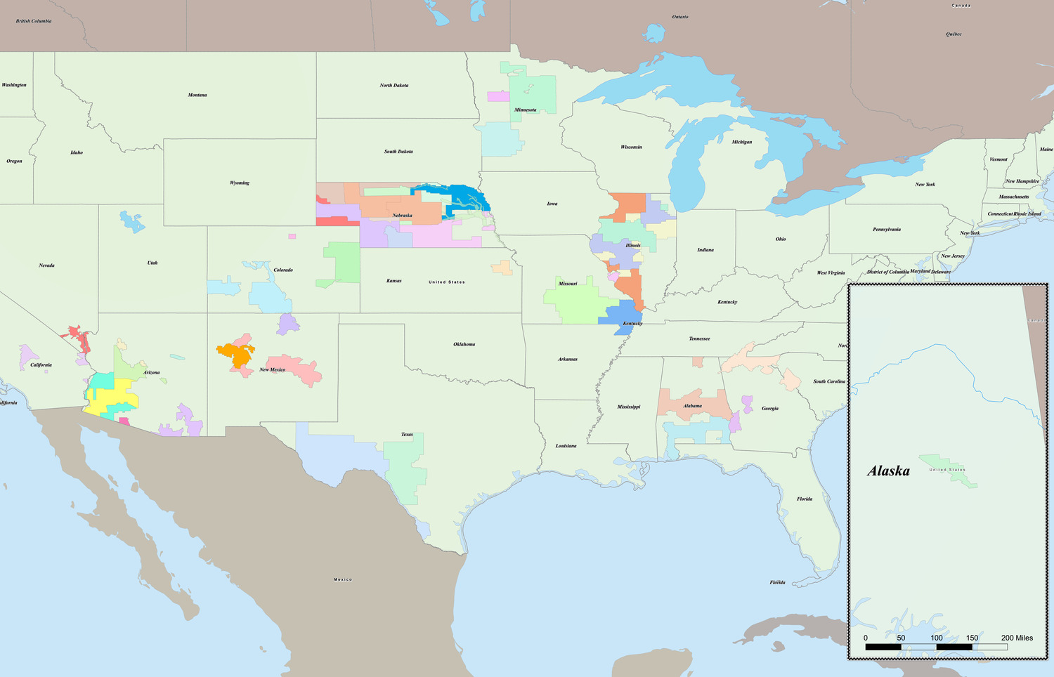
- Suitability modeling for renewable energy
- Route optimization for transmission lines
- Corridor mapping and utility network modeling
- Hazard and risk assessment
- Site selection and asset management support
- CAD and as-built conversions to GIS
- Web-based maps and interactive dashboards
- Custom scripting and modeling tools
- GIS database audits, data standardization, and data validation