Aeromagnetic and Radiometric Airborne Geophysical Survey
Aeromagnetic and Radiometric Airborne Geophysical Survey
Airborne Geophysics That Transforms Complex Terrain into Decision-Ready Insights
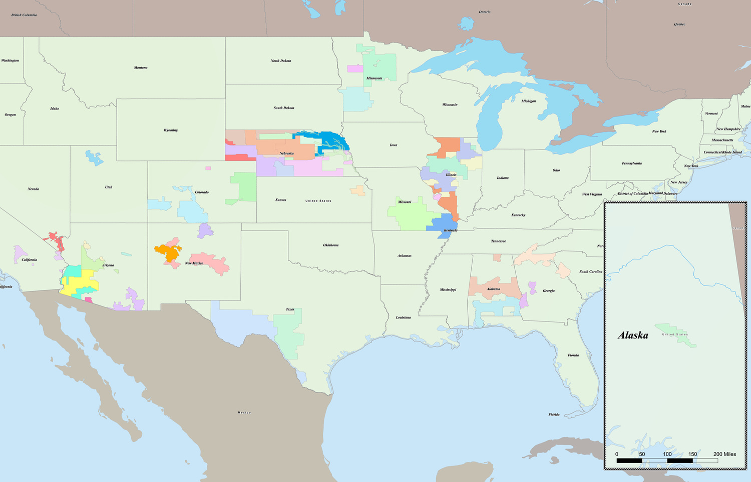
Wyoming’s South Pass-Granite Mountains region is a cornerstone of ongoing U.S. Geological Survey (USGS) and Wyoming State Geological Survey (WSGS) efforts to refine geologic maps, assess critical mineral potential, and better understand seismic risk across the central Rockies. The area’s complex Precambrian geology is known to host mineral systems and major structural features, but rugged terrain and limited access have historically left key subsurface geology questions unanswered. To fill those gaps, the USGS and WSGS needed consistent, regional-scale geophysical datasets capable of revealing what traditional mapping could not.
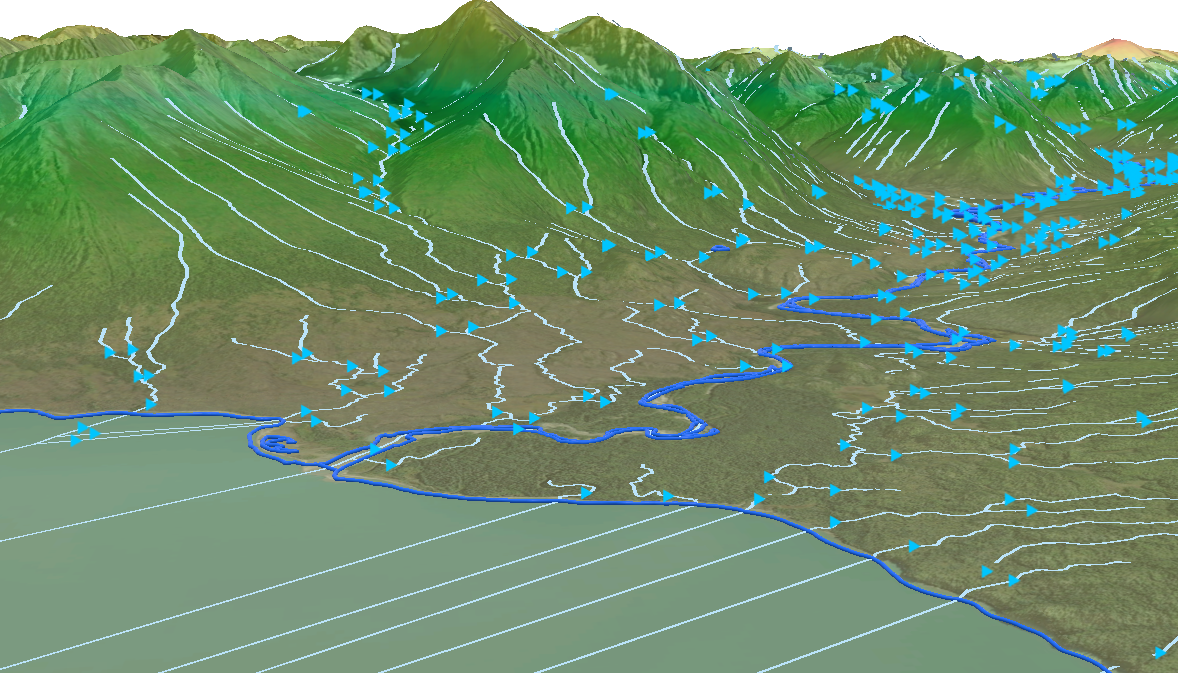
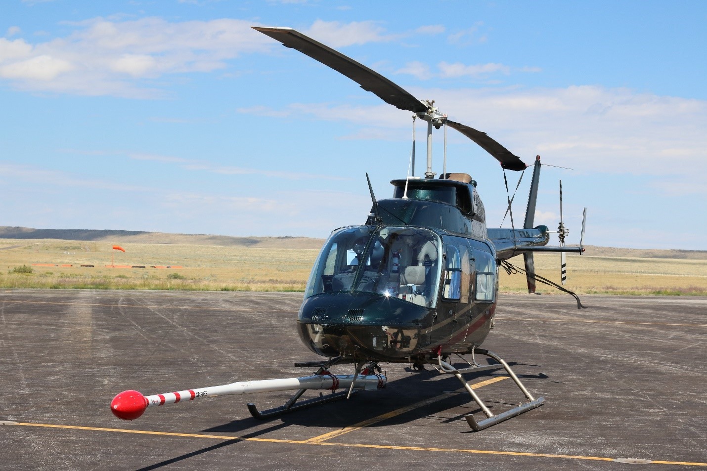
The Merrick-Surdex Joint Venture (MSJV) delivered that foundational dataset through a high-resolution helicopter-borne magnetic and radiometric survey spanning thousands of miles of mountainous terrain, basins, and faulted corridors. Precision flight execution and advanced airborne sensing enabled uniform, high-quality data capture across inaccessible areas—creating the first comprehensive framework of this region that imaged concealed lithology and structural trends at scale.
The resulting datasets are being used by the USGS and WSGS scientists to refine geologic interpretations, identify preciously obscured structures, and better target areas with mineral and energy potential. This defensible, decision-ready geophysical foundation supports critical minerals research, earthquake hazard evaluation, and land-use and resource planning aligned with federal and state priorities.
Project Highlights:
- Achieved ≤2-meter RMS GPS positional accuracy, strengthening confidence in all derived interpretations.
- Delivered real-time schedule and QA visibility integrated TOMIS and ArcGIS online dashboards. line dashboards.
- Coordinated flight timing with wildlife agencies to avoid migration periods while maintaining full data integrity.
Services:
- Aerial Lidar & Imagery
- GIS & Spatial Analysis
Make Your Next
Project a Success.
Partner with Merrick.