Aerial Lidar & Imagery
Eyes in the Sky, Data on the Ground
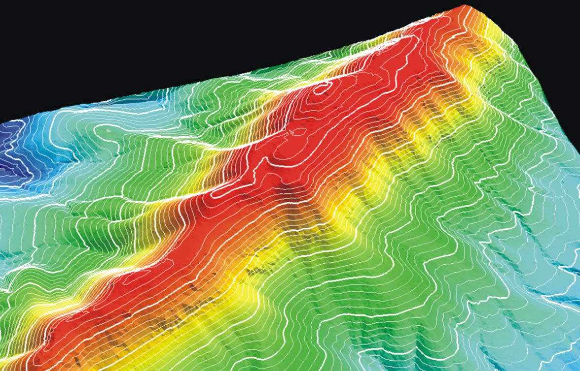
Merrick has been collecting aerial mapping data for more than 60 years, and lidar specifically for more than 20. That history leaves a mark: we know exactly where precision matters most and how to deliver data that’s truly useful for you.
Our aerial team collects lidar elevation data and high-resolution imagery at the same time, using specialized technology depending on your project needs. We were among the first commercial geospatial firms in North America to combine lidar, hyperspectral sensors, and digital cameras in a single collection system, giving you richer, more integrated data from a single flight.
That innovation means ensuring the data meets your highest standards. Every project goes through a rigorous QA/QC process to guarantee accuracy and reliability:
- Checking all flight data to ensure everything meets contractual requirements
- Rigorous checks throughout the entire processing workflow
- Thorough checks on deliverables before they are sent to the client to verify all specifications have been met
Merrick develops and uses our own proprietary Merrick Advanced Remote Sensing (MARS®) software specifically to manage and quality-control lidar point clouds at scale.
Our services include:
- High-resolution imagery and orthophotography
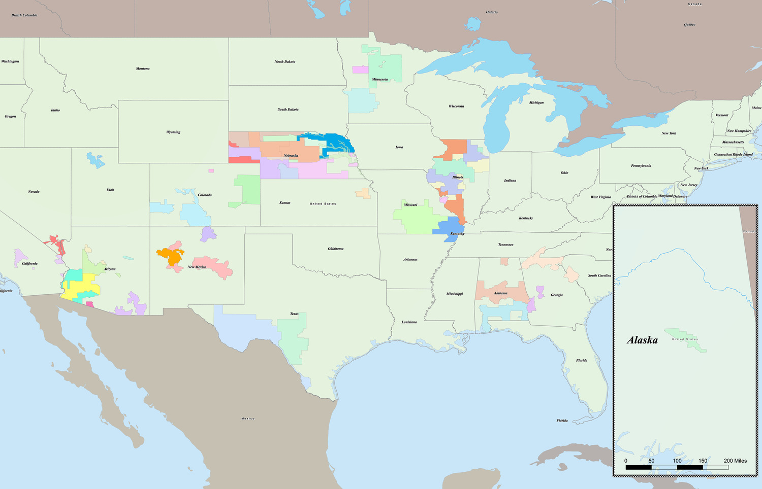
- Projects from a few acres to over 10,000 square miles
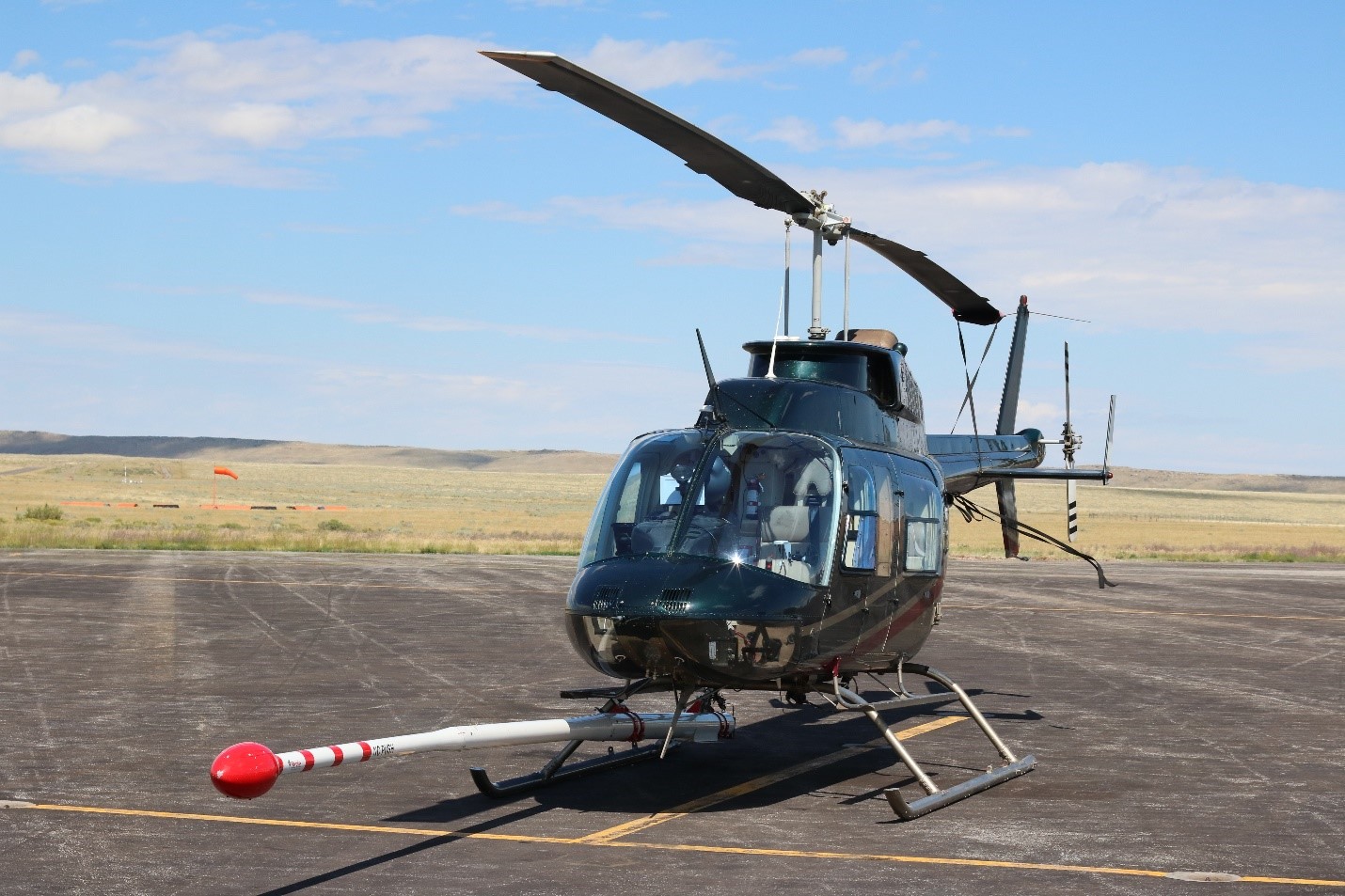
- Helicopter, fixed-wing, and sUAS platforms
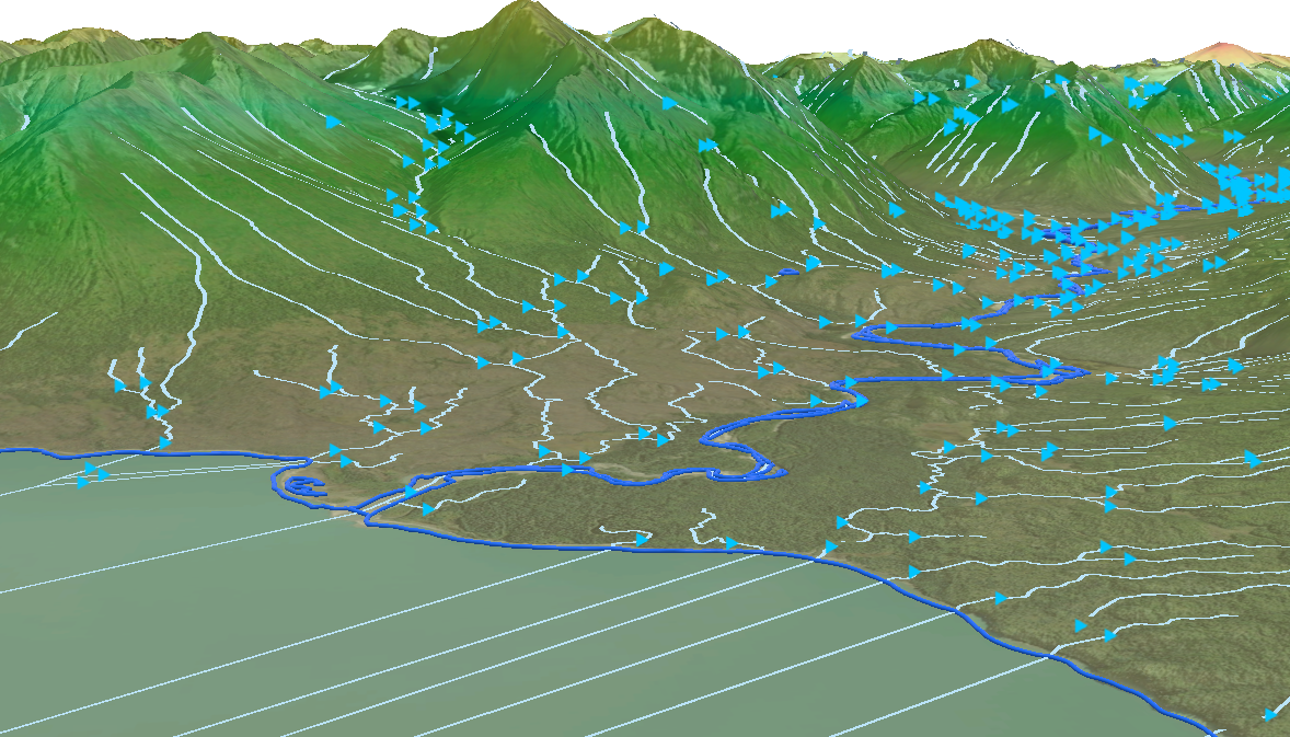
- Lidar elevation data and point clouds
- Hyperspectral imagery capture and processing
- Simultaneous multi-sensor collection
- Airborne collection of geophysical data (magnetic, radiometric, and gravity)