Surveying
The Foundation Projects Build On
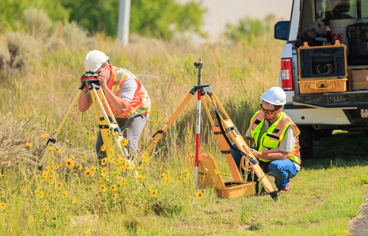
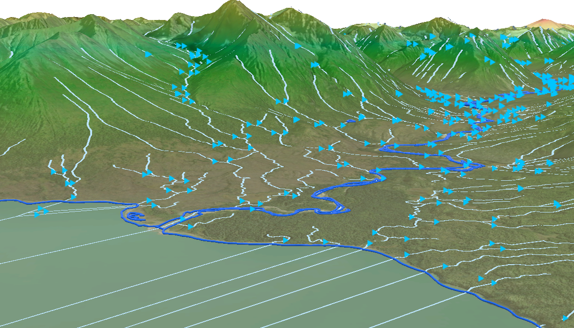
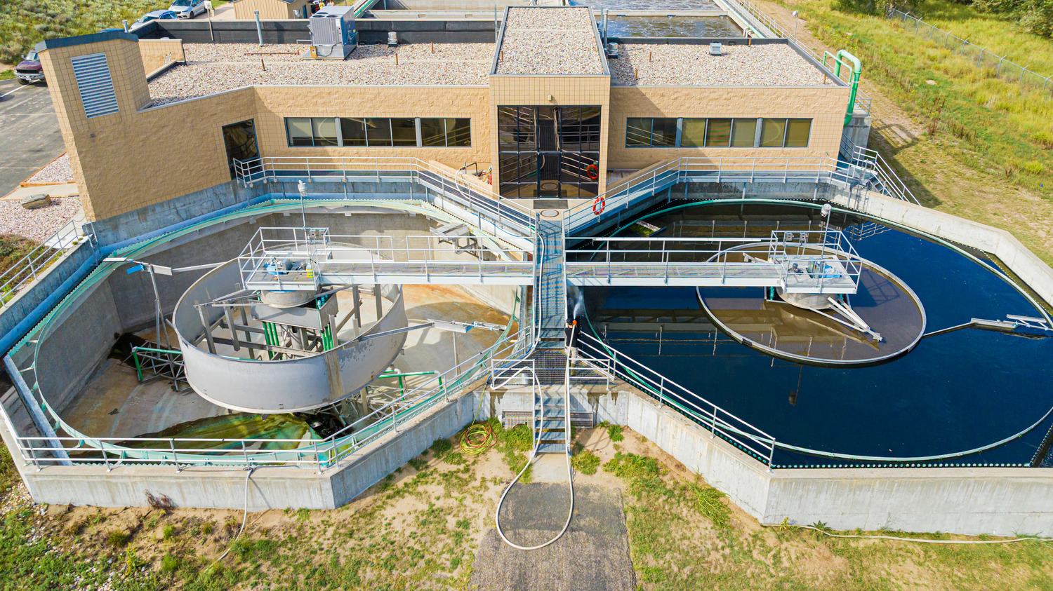
Surveying is one of the services Merrick was founded on, and for many projects, it’s where our work begins. The vital data we capture early on—through traditional land surveying and advanced mapping and lidar technologies—establishes the reference points that design, permitting, and construction depend on.
Our crews are led by licensed professional land surveyors who work closely with our engineers and designers. Using a mix of terrestrial mobile, UAS, and lidar, along with established survey methods, we deliver accurate, fit-for-purpose mapping for sites of all sizes and complexities. This direct collaboration ensures data flows seamlessly to the people who need it, which is critical when questions arise mid-project or when a control network needs to hold through multiple phases.
With 70 years of experience across the globe, we’ve adapted to diverse terrain, conditions, regulations, and access constraints. Many projects have been in hazardous or high security environments, where safety protocols and careful coordination are non negotiable. That expertise informs every survey and mapping effort we complete—whether the work requires boots on the ground, remote data capture, or a combination of both.
Our services include:
- Boundary and ALTA/NSPS land title surveys
- Topographic and engineering design surveys
- Route and alignment surveys
- Geodetic control networks
- Construction staking
- Bathymetric surveys
- Subsurface Utility Engineering (SUE)
- High-Definition Surveying (HDS)
- Blue booking and expert witness services