Professional Land Surveying
Trusted In-House Survey Expertise Since 1955
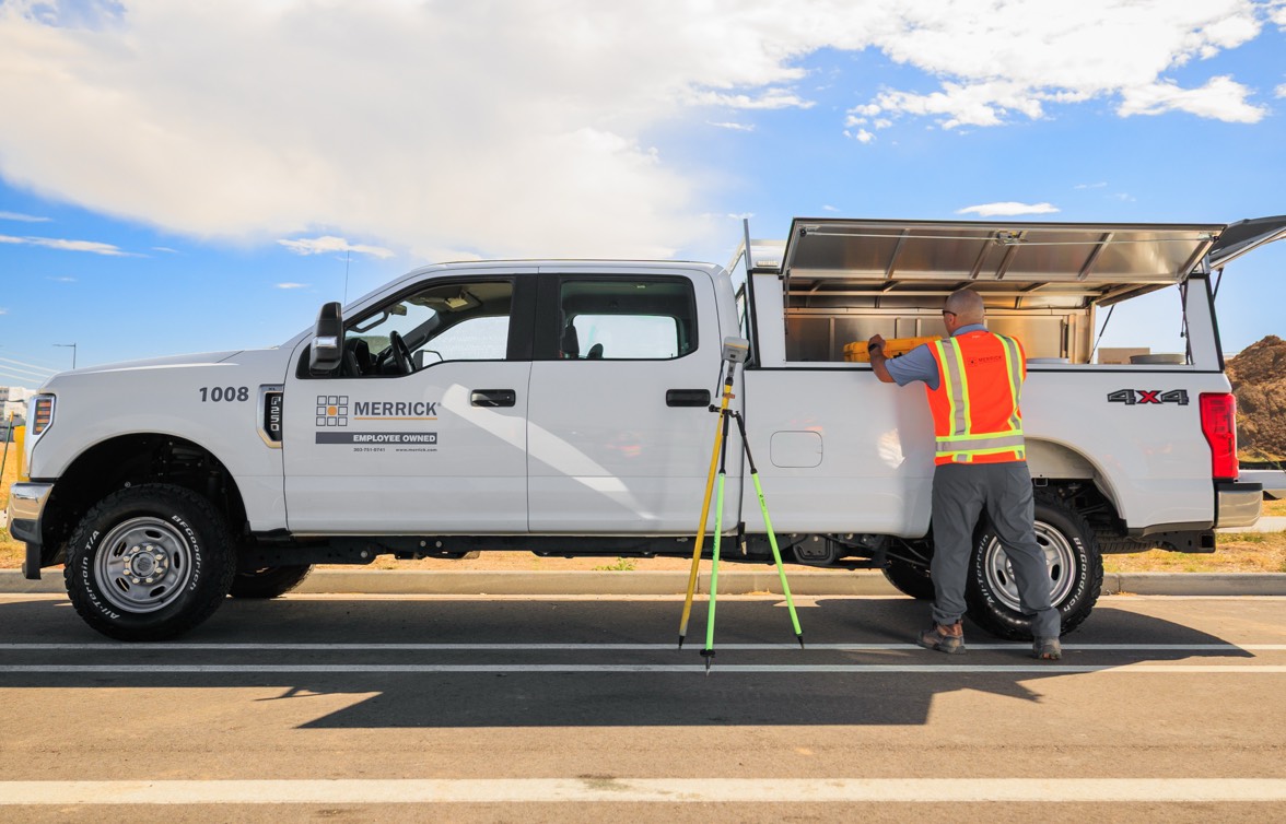
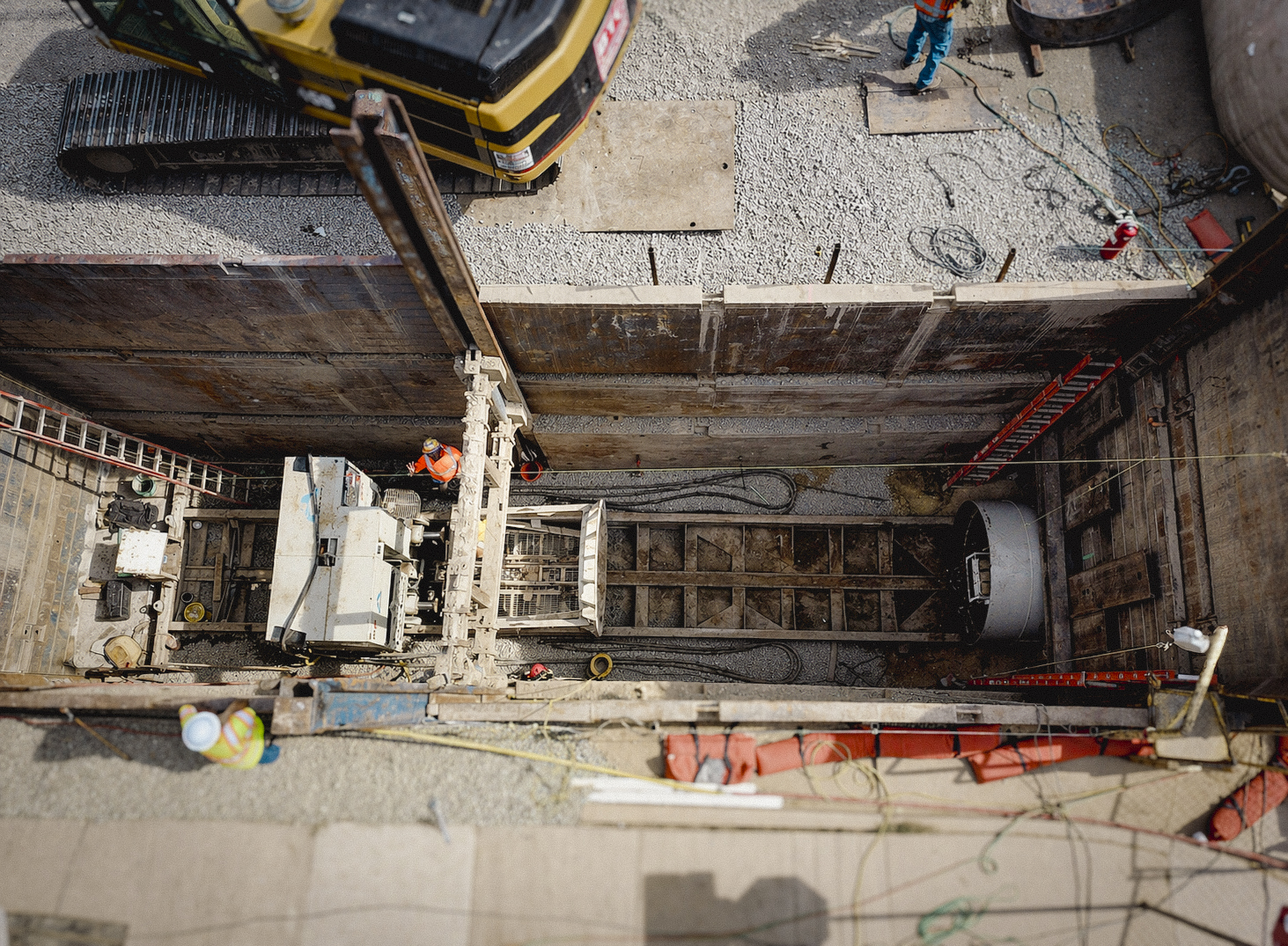
Since 1955, Merrick’s survey teams have provided the foundation that successful projects are built on.
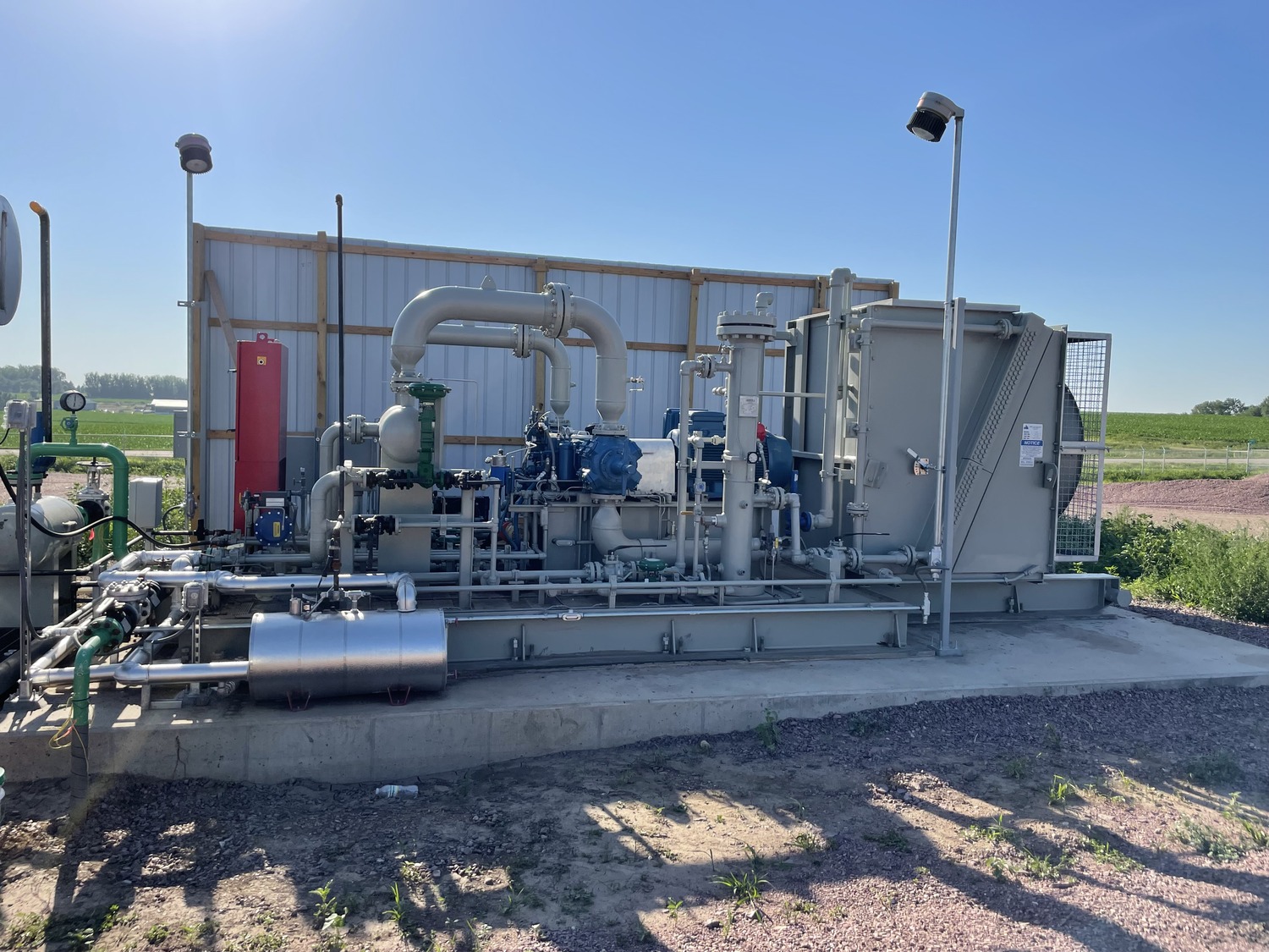
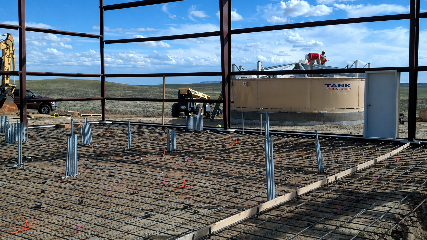
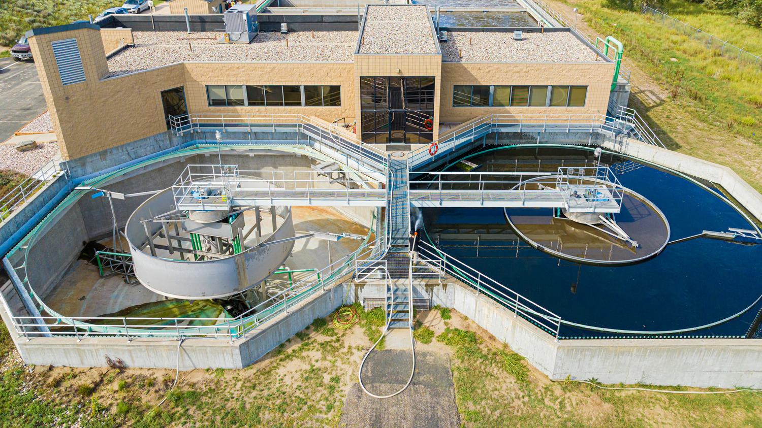
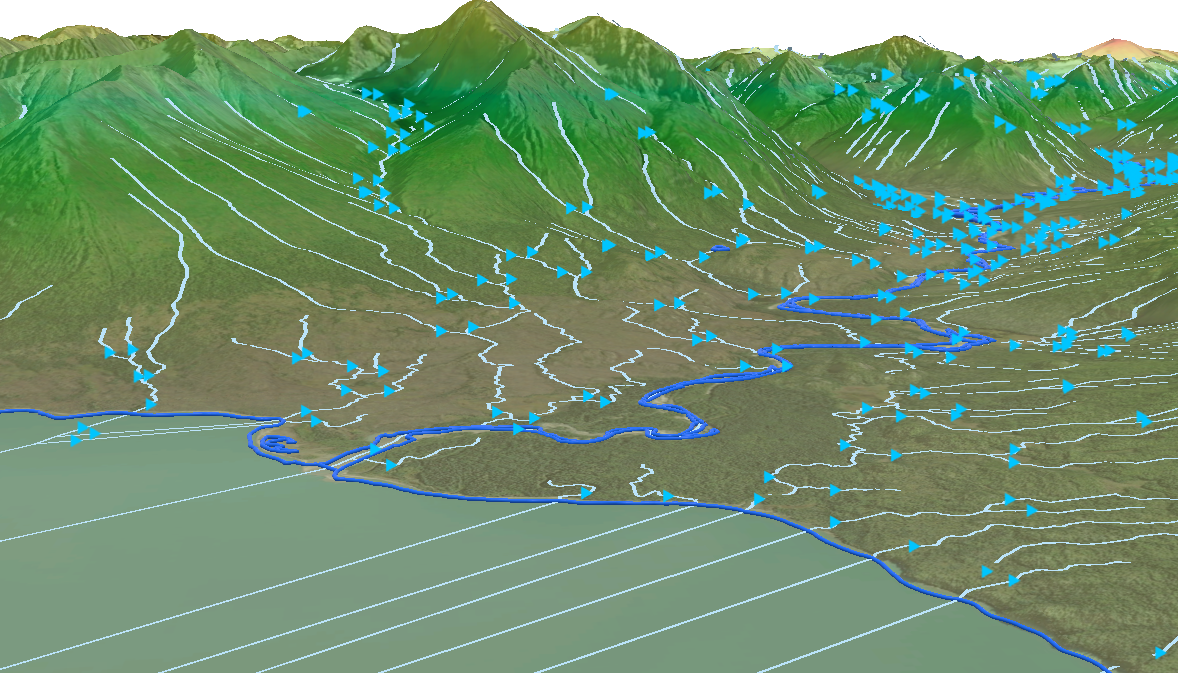
With every new project, we begin with thorough research and proactive coordination to understand your goals, anticipate challenges, and streamline field activities. Using advanced GNSS, robotic total stations, UAS mapping, and lidar, we capture precise, defensible data tailored to your project. Our proven workflows ensure consistent, high-quality deliverables from boundary plats and legal descriptions to topographic surfaces, CAD files, and 3D models, all while maintaining accuracy across multiple project phases.
Whether navigating rugged terrain or managing large-scale projects, our strategic, technology-driven approach prioritizes safety, efficiency, and reliability. Daily safety checks and adaptive planning keep our crews prepared for any conditions.
Collaboration drives our process. By working closely with our clients from kickoff through design, we align survey data with project needs early, reducing conflicts and preventing costly rework. Our commitment to open communication means timely updates, proactive problem-solving, and results you can count on.
Our services include:
- Geodetic control networks
- Boundary surveys
- Topographic surveys
- Construction layout
- As-built surveys
- Subdivision plat development
- Right-of-Way (ROW) surveys
- ALTA/NSPS land title surveys
- Cross-section surveys
- Bathymetric surveys
- Annexation maps
- Monitoring surveys
- High-Definition Surveying (HDS)
- UAS photogrammetry and lidar mapping