Geospatial
Precision Geospatial Solutions for Every Project
It’s a big world filled with a lot of data, and Merrick is equipped to capture it.
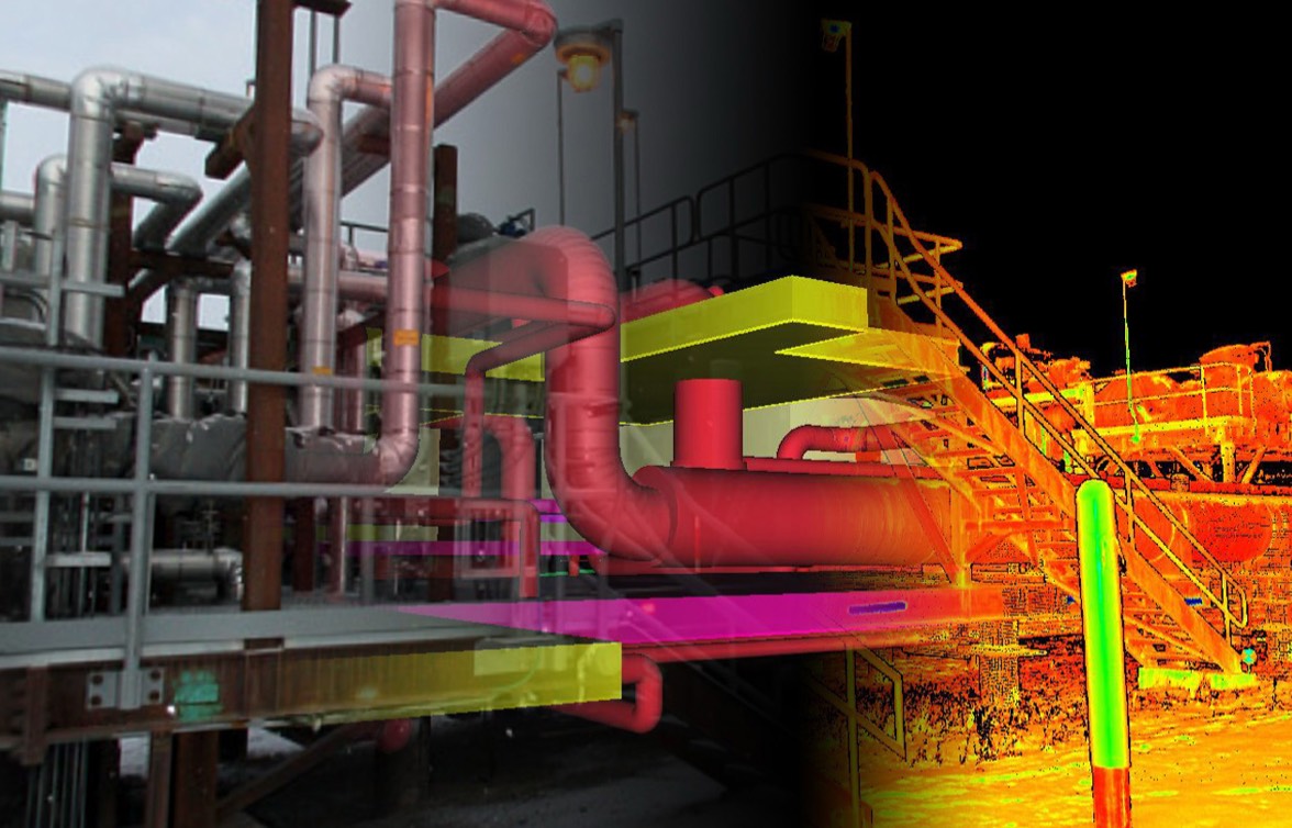
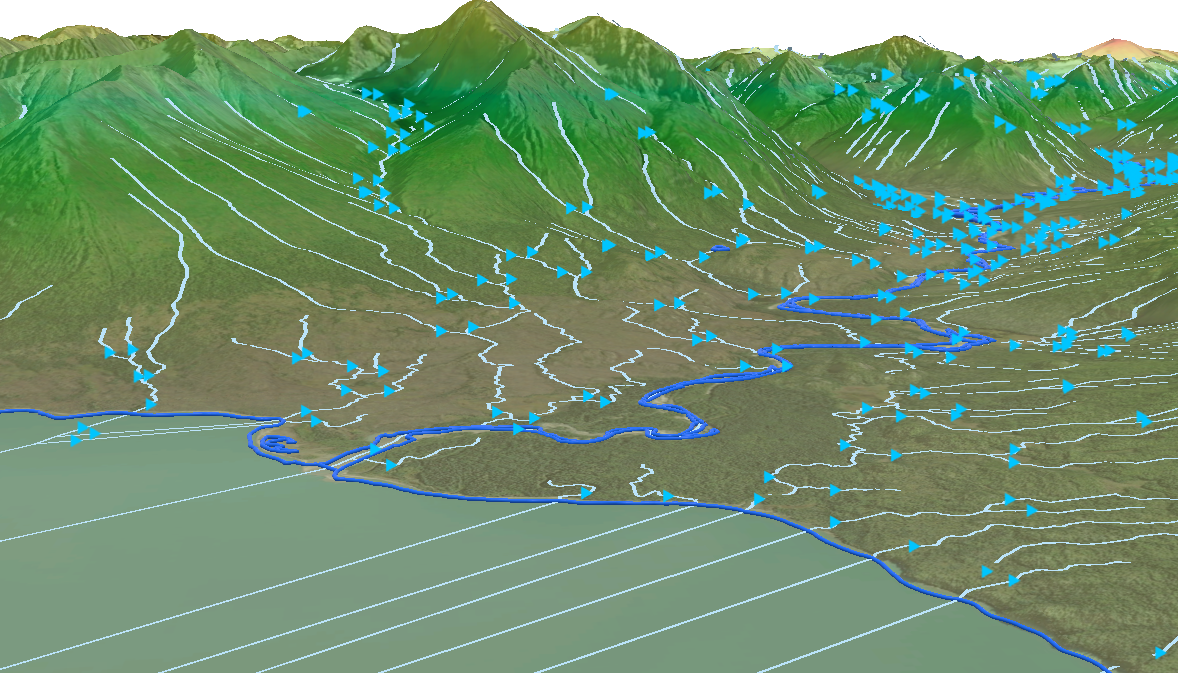
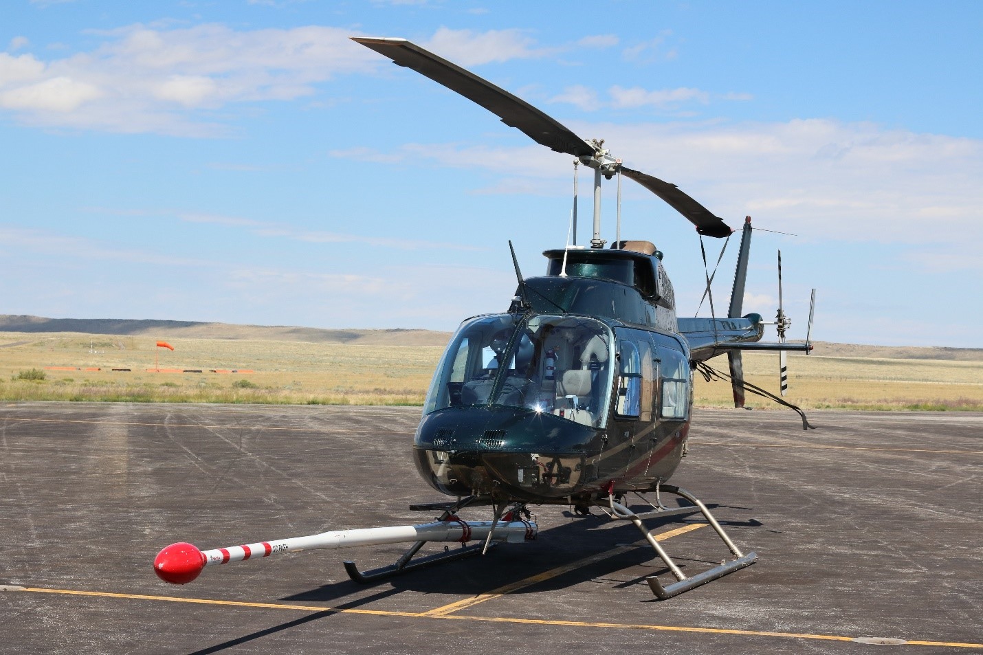
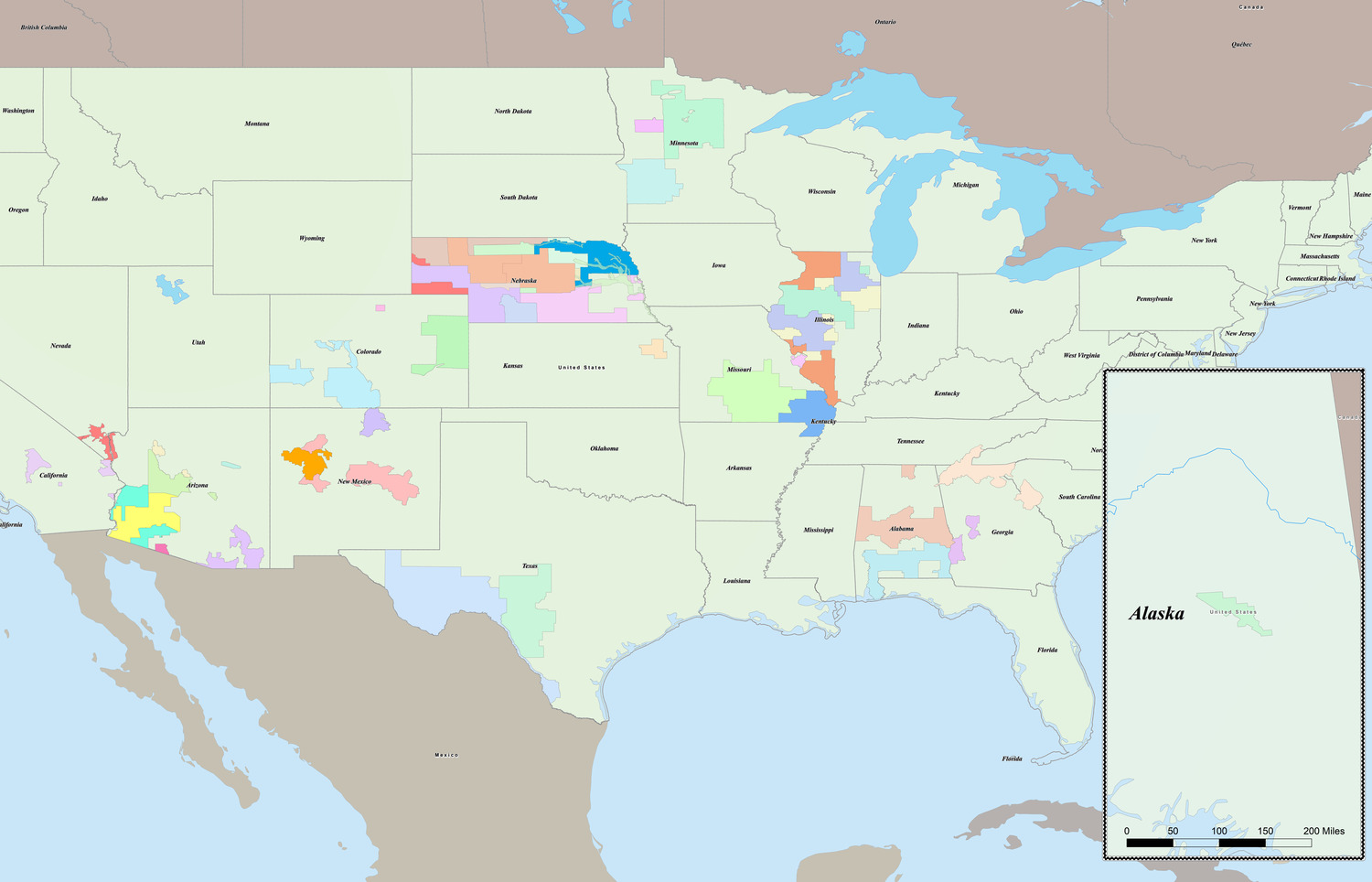
From the air, we collect lidar and digital imagery across miles of terrain. On the ground, we can scan facilities down to the finest detail. Through geographic information systems (GIS), we bring it all together into intuitive maps, models, and dashboards that help you see the full picture for your projects.
Over decades, our geospatial team has refined how we collect, process, and deliver spatial data across energy, transportation, infrastructure, and natural resources. We were one of the first firms in North America to combine lidar, hyperspectral sensors, and digital cameras in a single collection system. As employee owners, we keep investing in advanced equipment and our Merrick Advanced Remote Sensing (MARS®) to make sure the data we deliver is accurate, integrated, and ready for you to use.
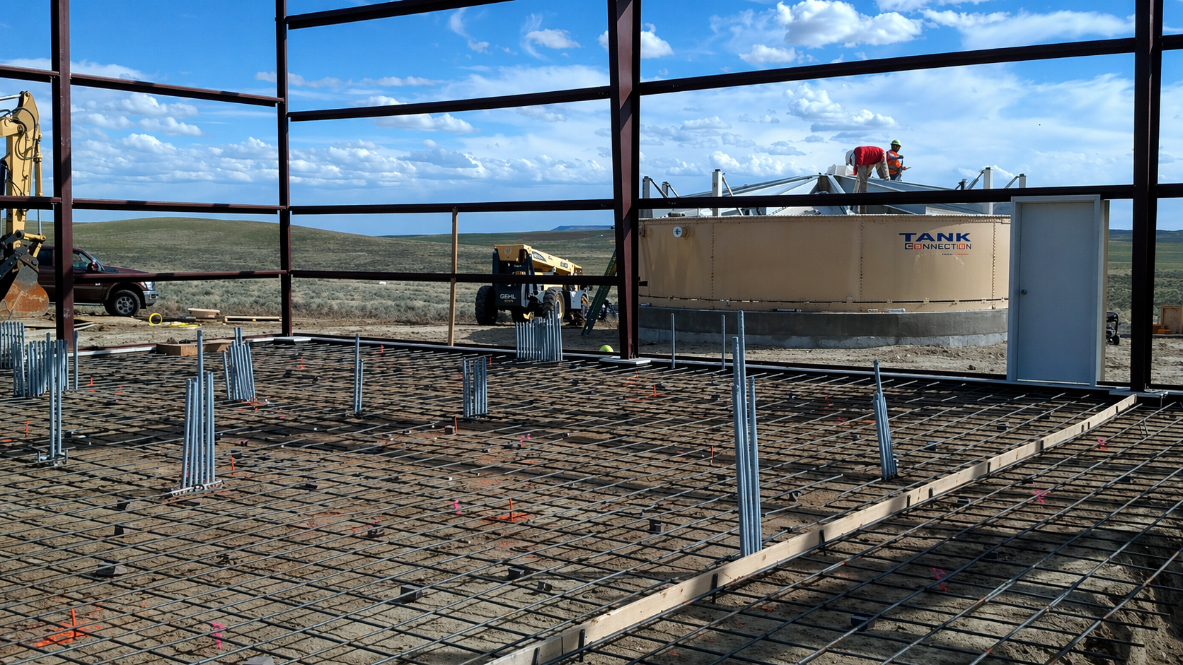
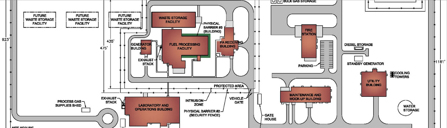
Whether mapping complex environments, documenting existing conditions, or creating a digital twin of your assets or facilities, we tailor our approach to meet your specific needs.
Our services include:
- Aerial lidar and imagery
- GIS and spatial analysis
- 3D scanning and digital twins
- As-built documentation and modeling
- Web maps and interactive dashboards
- GIS and BIM integration