Transportation Mapping Made Simple
Your transportation project requires careful planning—rights-of-way and easements must be identified; land ownership in the project area must be determined; and underground utilities must be marked and protected. We make this process simple, providing comprehensive transportation mapping services. From traditional surveying and LiDAR and aerial mapping to full-service subsurface utility engineering, we’ll make sure you have the right data to make informed decisions for your project. Our extensive familiarity with a wide variety of mapping software and templates has helped us deliver compliant and comprehensive data for transportation mapping projects across the US. We leverage our decades of surveying and mapping expertise to find the most cost-effective and efficient project solutions for your needs. And not only do we offer comprehensive mapping services, but we will also integrate your multiple layers of project data into one streamlined deliverable. You’ll be able to easily assess the information we gather and use it to advance your project goals quickly and confidently.
In-House, Comprehensive Transportation
Mapping Services
Traditional Surveying
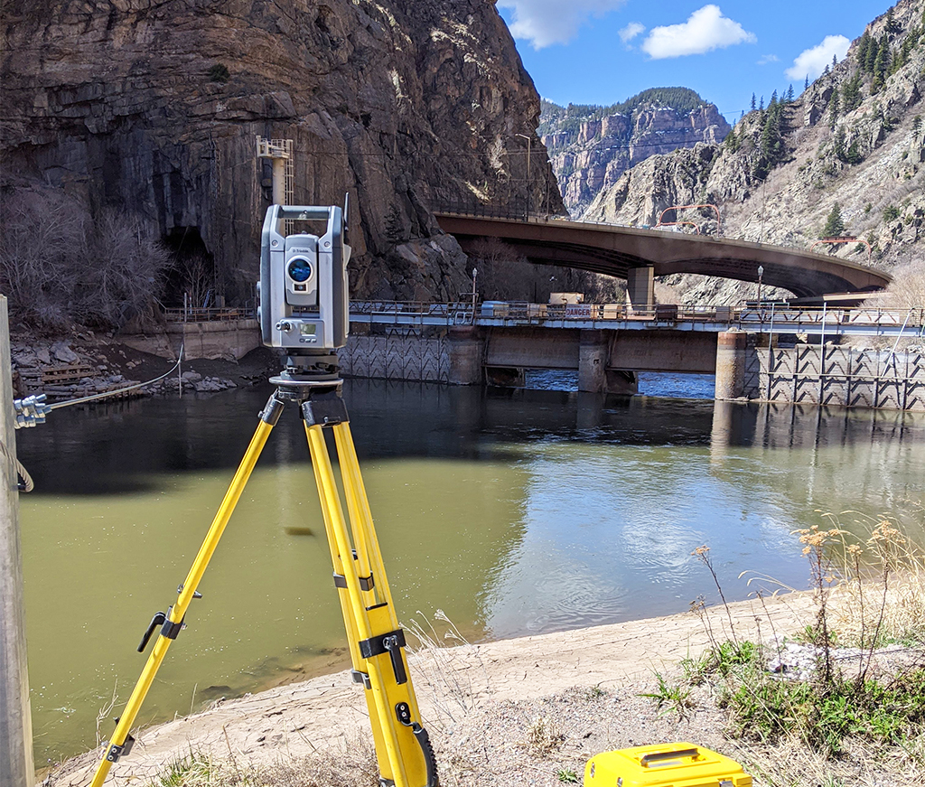
We provide traditional surveying services for the modern world by using cutting-edge technology for everything from boundary and cadastral surveys to route and alignment surveys to construction staking.
LiDAR and Aerial Mapping
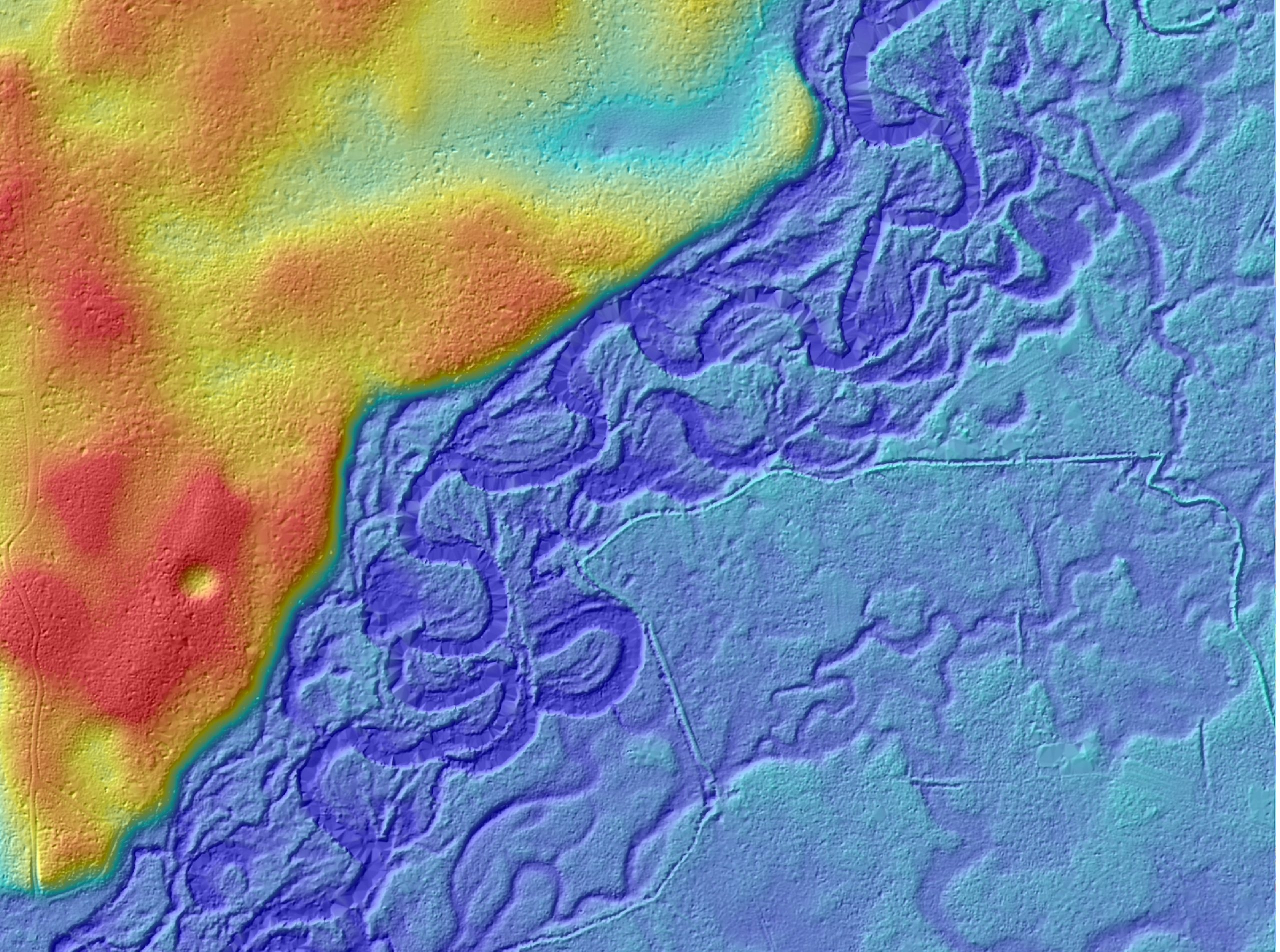
Feel empowered to make the right decisions for your transportation project with high-quality, accurate LiDAR data and aerial mapping results. We use the latest technology and tailor our data collection to your needs.
Subsurface Utility Engineering (SUE)
We’ll help you save time and money and protect underground utilities by providing complete SUE services, including stamping your data to A, B, C, or D levels of accuracy.
Traditional Surveying for the Modern World
Traditional doesn’t mean outdated. We use cutting-edge surveying technology to create data tailored to your needs. From right-of-way and easement to route and alignment to construction staking, we have your traditional transportation surveying needs covered. We’ll help you get an accurate representation of your project area so you can make decisions with confidence and save both time and money.
We support you with:
- Boundary/Cadastral Surveys
- ALTA/NSPS Land Title Surveys
- Utility As-Built Surveys
- Construction Staking
- Cross-Section Surveys
- Route & Alignment Surveys
- GPS & Ground Control
LiDAR and Aerial Mapping
Accurate, high-quality LiDAR and aerial mapping data is essential for making the right decisions about your transportation project. We use the latest technology in high-resolution imagery, LiDAR, hyperspectral, and terrestrial high-density scanning. Our data collection is tailored to your unique needs, so you’ll feel confident as you plan, design, and construct your transportation project. We have extensive expertise in:
- Airborne (Wide Area/Corridor)
- Mobile
- Terrestrial (High-Definition Scanning)

Comprehensive Subsurface Utility Engineering (SUE)
Not only does our team have the expertise needed to perform quality SUE work, but we also have the in-house engineers required for fully compliant SUE services. SUE compliance is now required by law for transportation projects in many states. Meeting SUE requirements for your project will also save time and money during the construction phase and reduce the risk of underground utility damage. But SUE requirements can be complicated—and certain portions of your project may require SUE while others may not. Our SUE experts are well-versed in the laws and requirements surrounding SUE work and will guide you to the right decisions for your project. You won’t even need to find a separate engineer to stamp the work. Our in-house engineers are ready to certify your project as SUE Level A, B, C, or D, depending on your unique project needs and budget.
Your One Stop Shop for Transportation Mapping
We’re your one stop shop for all your transportation mapping needs, from traditional surveying through LiDAR and aerial mapping to full-service SUE. You won’t have to worry about troubleshooting your own data, coordinating subcontractors, or making sure all the bases are covered to maintain compliance with local, state, or federal regulations. We streamline your mapping needs, combining multiple layers into one deliverable so you can access all your mapping data in one place. We make sure all your bases are covered (and mapped), so you can confidently reach your transportation project goals.

