MARS® 2022.0 Software Release
02.03.22
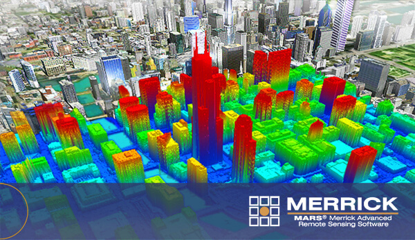
Merrick & Company is pleased to announce the latest release of our LiDAR processing software solution, MARS® 2022.0.
Read the latest release notes and more detailed documentation with a download link on our website.
MARS® 2022.0 Release Highlights
- A new QC Module option to check for lidar data compliance with the latest USGS NGP LBS 2021 rev. A standard. Testing against all previous specifications published by the USGS is also available.
- The addition of a new method for testing lidar point density–Voronoi Density Reporting. This unbiased, sensor-agnostic approach to density testing is not affected by scan pattern or underlying grid cell size/placement.
- A tiled GeoTIFF option for flightline separation exporting. This supplements the existing project-wide flight line separation JPEG 2000 export.
New Raster Creation Tools
- GeoTIFFs to JPEG 2000 which creates a single, mosaicked JP2 raster from a folder of GeoTIFF files with a user-selectable compression ratio.
- Swath shapes to overlap JP2 which creates a JPEG 2000 raster from a folder of swath footprint shapefiles, colorized to indicate the amount of swath overlap present.
In addition to these new features and enhancements, several other improvements and bug fixes are included in this latest MARS® release, as summarized in the Release Notes.
Contact
Josh Beck
Sr. Software Consultant
Office 303-353-3715
Mobile 303-912-8127