Amherst County | Amherst, VA
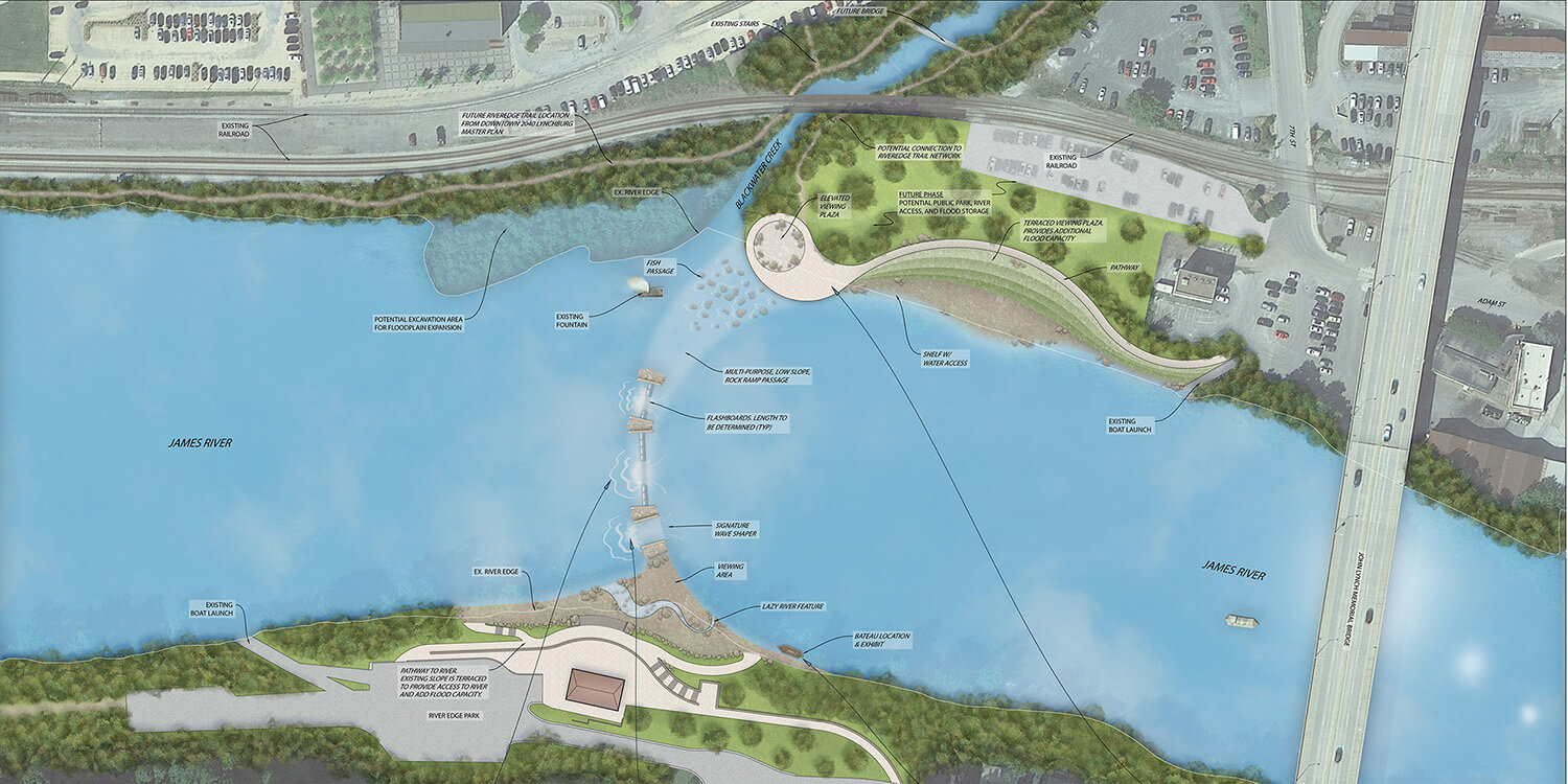
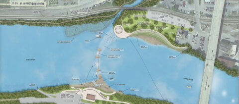
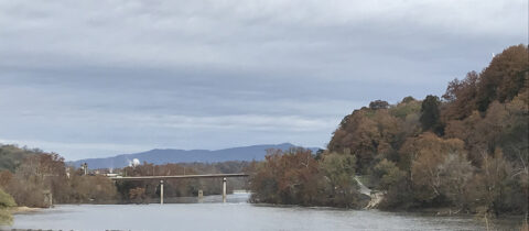
Merrick & Company provided recreation master planning, site analysis and river evaluation for whitewater facilities, access, trails and viewing opportunities along the James River adjacent to River Edge Park. The master plan included the area, plus additional lands to the north and east of the existing site that were owned by the county, as well as recreational opportunities directly across the river on the Lynchburg side.
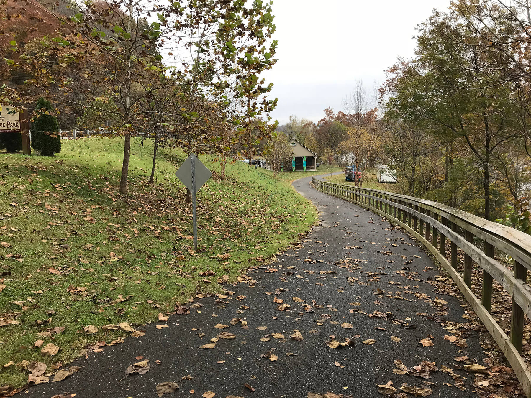
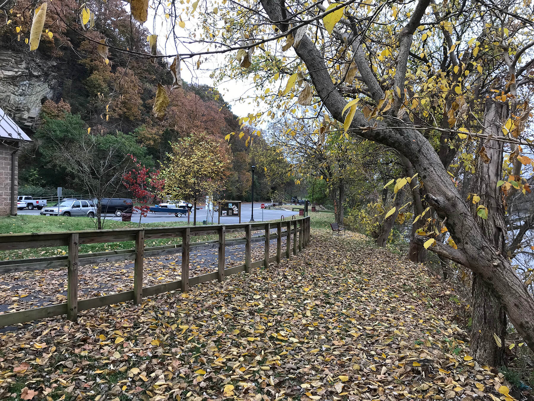
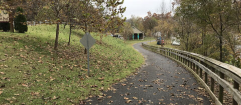
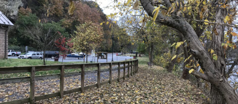
Merrick provided master plan alternatives including a new municipal park adjacent to the James River, viewing platforms on both sides of the river, new trail connections for the City of Lynchburg, in-river whitewater features, viewing and accessible routes from the View of the existing greenway along River Edge Park adjacent to the James Rivernearby River Edge Park, grading studies, earthwork studies, cost analysis and bathymetric evaluations, as well as in-river remediation concepts to maintain a no rise condition. The master plan also expanded River Edge Park to include a new building that would allow river tours and boating excursions, trail connections along the river, a zip line, mountain biking trails and a new greenway to connect an adjoining neighborhood.
The services provided for this project involved evaluating a complex site that had interest from a multitude of stakeholders as well as coming up with a master plan that met the various requirements and vision for the large stakeholder group. Additionally, the master plan involved specific recreational elements including ADA accessible paths, viewing platforms along the river, new greenway trails, expansion of the existing park, a natural amphitheater as well as the recommendation for a new city owned park that would provide excellent access to the river for the residents of Lynchburg.
UNIQUE PROJECT FEATURE: The existing riverbank was very steep and +/- 20 feet from the top of the bank to water elevation. Merrick provided an accessible route to the water’s edge through a series of ADA-compliant ramps.
In addition, we had a no rise requirement for work on the river. As part of the solution, we identified a way to create additional floodplain storage by removing material from the opposing bank, thereby creating a new park. The volume of material removed, in conjunction with the volume of material removed from the riverbank to provide an accessible route, offset the addition of the planned in-river amenities that would naturally raise the flood elevation.

